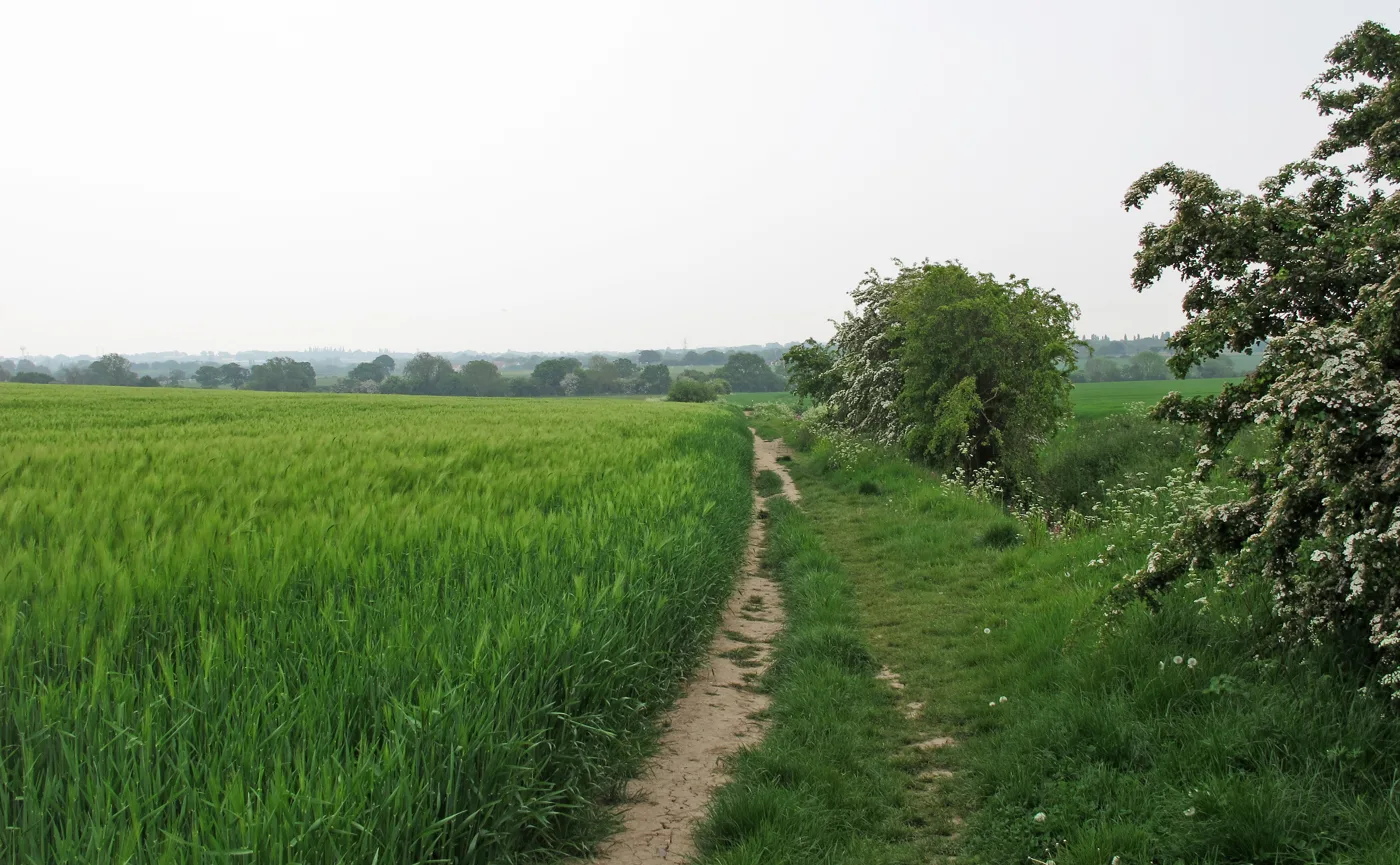

Redrow has asked Basildon Council what its environmental study must cover for up to 1,300 homes south of Great Burstead. The council must reply by 11 November.
Housebuilder Redrow has taken the first formal step towards up to 1,300 homes on farmland south of Great Burstead, on the southern edge of Billericay.
It has asked Basildon Council for an EIA scoping opinion: the council’s view on what an environmental impact assessment for the scheme must cover. The request, reference 26/01154/SCOPE, was received and validated on Wednesday 21 October.
This is not a planning application. Nothing is approved or refused at this stage, and there is no public comment period. But a developer does not pay for an environmental study of this size without intending to apply.
What the register shows
The council’s planning register describes the proposal as “a residential-led development delivering up to 1,300 homes with associated access and supporting infrastructure” on land south of Great Burstead, Southend Road.
- Applicant: Redrow
- Agent: Nimbus Environmental Consulting, Cambridge
- Ward and parish: Burstead ward; Great Burstead and South Green parish
- Consultees asked from: Friday 23 October, until Monday 16 November
- Council’s deadline to give its opinion: Wednesday 11 November
No documents had been published on the register when we checked on 25 October, so the site plan and the scoping report itself are not yet public.
It is one of the draft Local Plan’s biggest sites
The land matches allocation H3, Land South of Great Burstead, in the council’s draft Local Plan published for consultation this summer. That policy describes:
- about 139 hectares between Billericay and Noak Bridge
- an indicative capacity of 1,360 to 1,450 homes, at about 40 homes per hectare
- building phased from 2025-30 through to 2041-43
- land kept for a possible extension of Great Burstead Cemetery and for new allotments
- a cycle route from Southend Road to The Billericay School, and a north-south route to Noak Bridge and Laindon station
- a landscape buffer along the River Crouch on the southern edge
- Gypsy and Traveller pitches, secured by legal agreement
The plan says the site is bounded by the huge Southeast Billericay allocation, H1, to the east, and by Land West of Great Burstead, H2B, to the north. It notes the Grade I listed Church of St Mary Magdalene and the Great Burstead Conservation Area to the north-west.
Redrow’s figure of up to 1,300 homes is slightly below the range the plan gives for the site.
A week of Local Plan votes
The timing matters. On Monday 26 October, councillors will vote at an extraordinary meeting on a motion to withdraw the draft Local Plan beyond its current stage. We set out what the motion says and what led to it in our Local Plan withdrawal vote report.
If the plan stalls, sites like H3 do not disappear. Without an up-to-date plan, Green Belt schemes are judged against the council’s housing supply. The council’s own July 2026 figure puts that at 2.05 years against the five years the government requires. That is why several developers have already gone straight to appeal, including the 910-home Foots Farm scheme east of Southend Road.
What it means for you
There is nothing to comment on yet. The scoping opinion tells Redrow which topics its study must cover, such as traffic, flooding, heritage and wildlife. The study itself, and any planning application, would be published later.
When that happens, residents can comment on the application through the council’s planning register. To follow it now, search for reference 26/01154/SCOPE. Our Basildon planning news page tracks the borough’s big schemes.
Sources
- Basildon Borough Council planning register, 26/01154/SCOPE: summary, details and dates tabs, read 25 October 2026
- Basildon Borough Council, Regulation 19 Local Plan 2023-2043, Part 4.1, Policy H3, July 2026
- Basildon Borough Council, Five Year Housing Land Supply Report, July 2026 update
Have your say